How to climb Mount Fuji
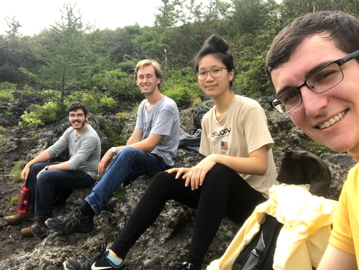
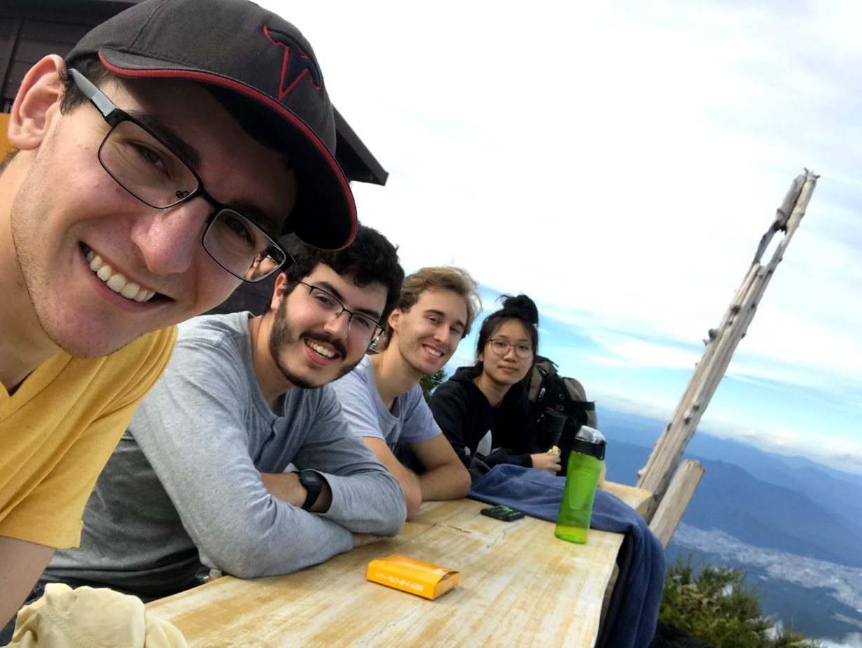
Last week, after spending a day at Fuji-Q Highland, I set out with a group of three other students to climb to the highest point in Japan, the summit of Mount Fuji.
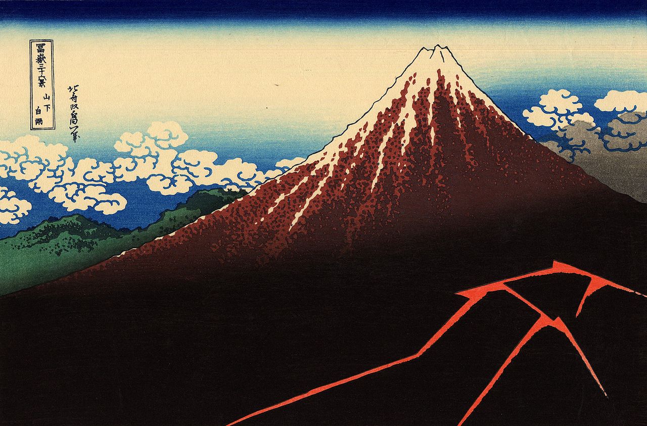
Fujisan (富士山) is a 3,776 meter tall active stratovolcano within sight of Tokyo on a clear day. Its cone is remarkably symmetrical, and it stands alone in a mostly flat plain away from other mountain ranges. For these reasons, it has been a subject of Japanese art for hundreds of years.
Day 1: Climb to 8th Station
There are two main routes up the mountain, the Yoshida and Subashiri trails. Both are only open for two months out of the year, from early July to early September. Because of this, the mountain tends to be very crowded with Japanese climbers and foreign visitors. To avoid these crowds, we decided to climb at the end of climbing season (actually the last days possible, September 9 and 10), and take the slightly longer and steeper trail, Subashiri.
Luck also seemed to be on our side, as Typhoon Faxai, the strongest storm to hit Japan in 60 years, blew through the area the night of September 8. While it made our time at Fuji-Q a little wet, it had already passed by the time we started climbing on the 9th. The storm apparently scared away other hikers, because we practically had the mountain to ourselves the first day.
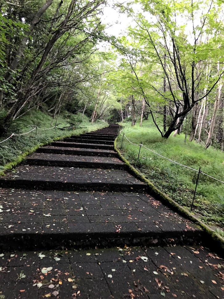
Although the official trailhead is much lower, you can take a bus to Subashiri Trail 5th Station at 2,000 meters. This is what we chose to do, and I'd recommend it unless you want to walk through miles of boring forest before even really starting the ascent.
After a long bus ride from our Airbnb, we reached the 5th Station around noon on September 9th. The trail starts out as wide stone steps through the forest but quickly becomes a dirt path.
As we progressed up the mountain the trees began to thin and the soil started to get darker and more volcanic. The trail thus far was pretty easy, just a gentle dirt slope shaded by trees. Being the summer in Japan it was still quite hot, but we made good progress on the first section of our trek.
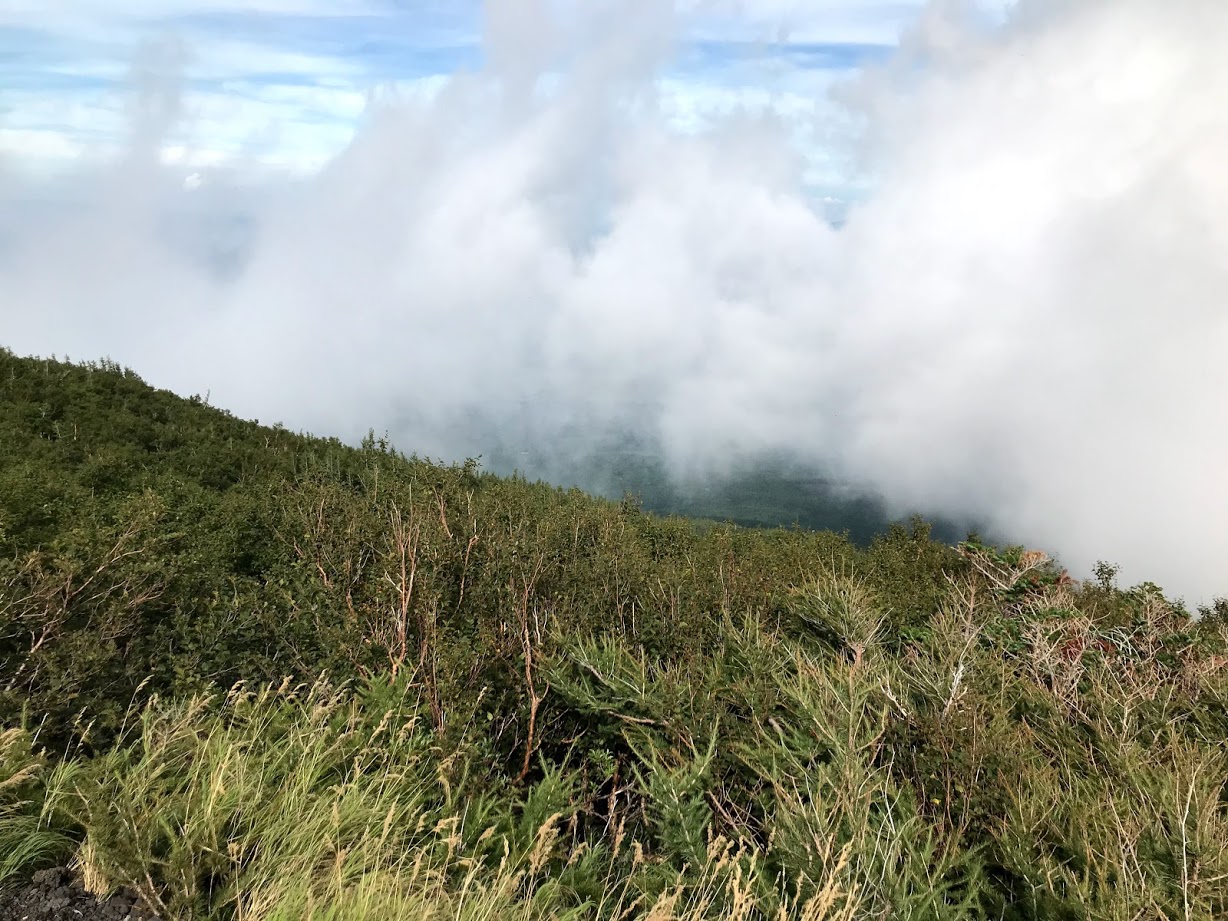
At about 2300 meters we broke through the treeline into a vast expanse of dirt and grass, with clouds periodically obscuring our view. We could see a few hikers making their way down the descending trail a few hundred meters away.
By 2:05 PM we reached the first stopping point of the hike, Subashiri 6th station, elevation 2,450 meters. This is one of the numerous mountain huts on the route to the top, where you can stop, buy some water or snacks, and rest for a bit. The ones higher up also have places where you can spend the night.
We rested here briefly, meeting a group of Californian hikers we had seen on the bus, then continued the climb.
The vegetation continued to thin as we passed through a layer of clouds. The trail started to become steeper and rockier too, comprised of melon-sized igneous rocks and fine dark pebbles. We finally reached Subashiri 7th Station, elevation 3,090 meters, at 4:20 PM, and took another break.
By this point we were getting pretty tired, but there was still another 310 vertical meters to go before we could rest for the night. We pressed on, as the trail continued to get steeper.
As our elevation continued to increase, the air became increasingly thin and cold. The temperature was fine while we were walking, but it quickly became chilly if we stopped for too long. I had heard some horror stories of people getting altitude sickness on the mountain, and while I wasn't affected too badly I did find myself out of breath almost constantly.
By the time we reached the Former 7th Station at 3200 meters the vegetation was almost entirely gone, and the mountainside was just a bare slope of slippery volcanic gravel with switchbacks carved into it.

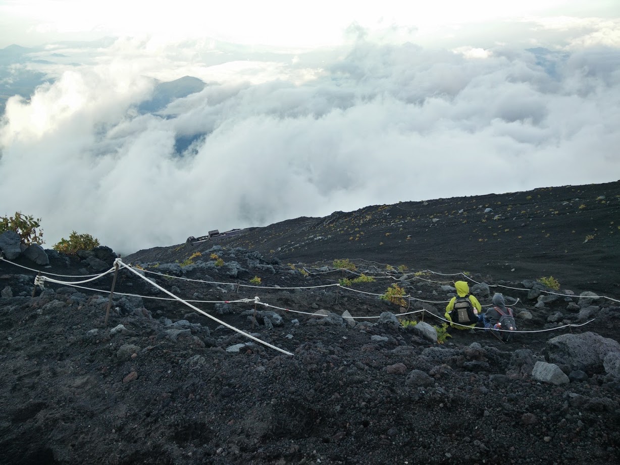
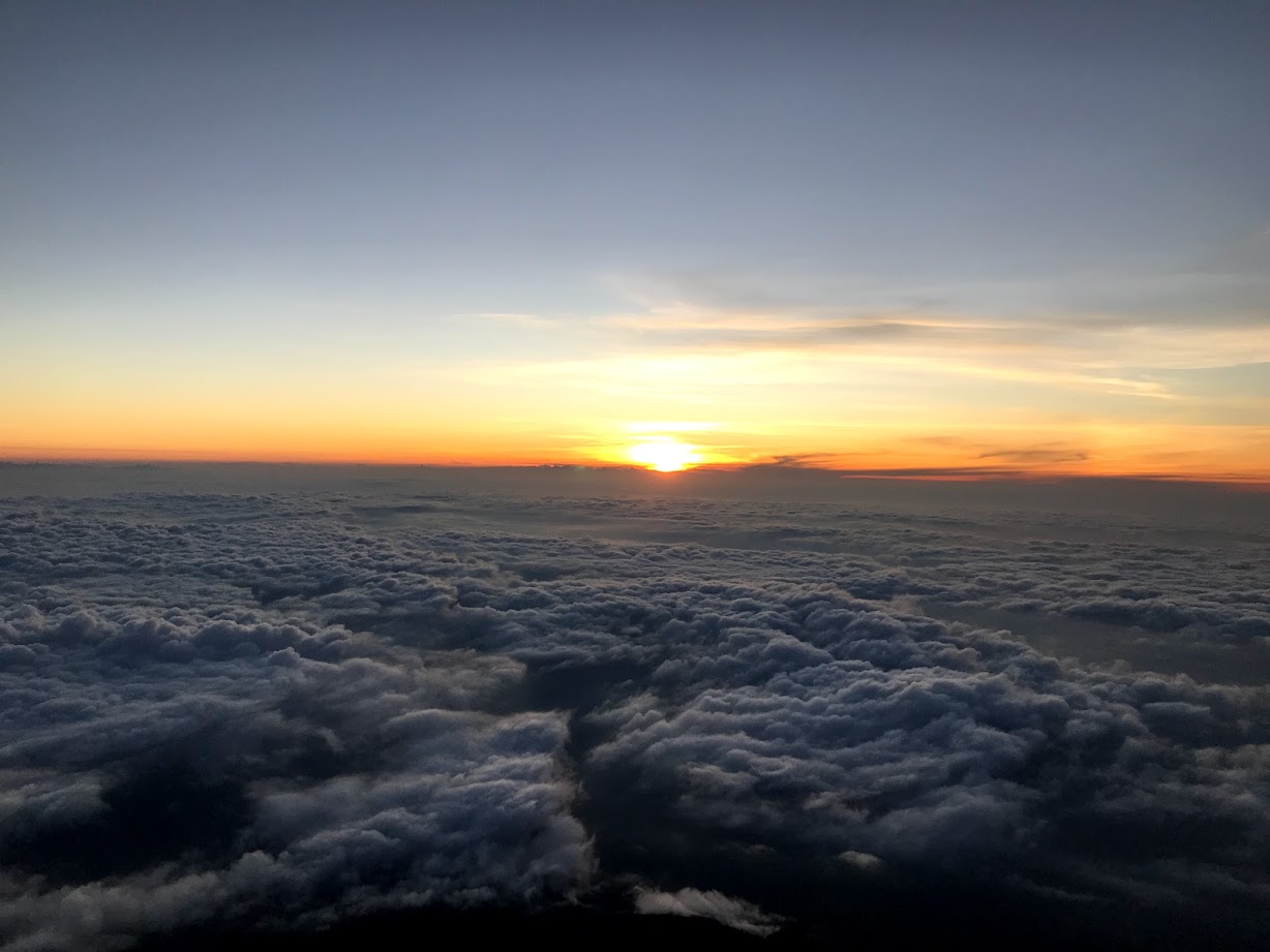
I don't think I've ever felt more exhausted in my life than when we reached Subashiri 8th Station, just as the sun was setting. The mountain hut we had reserved for the night, Tomoe-kan, was here—3,400 meters above sea level.
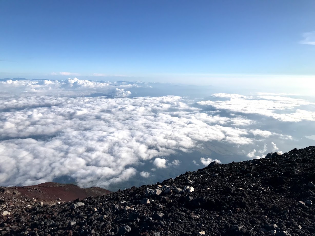
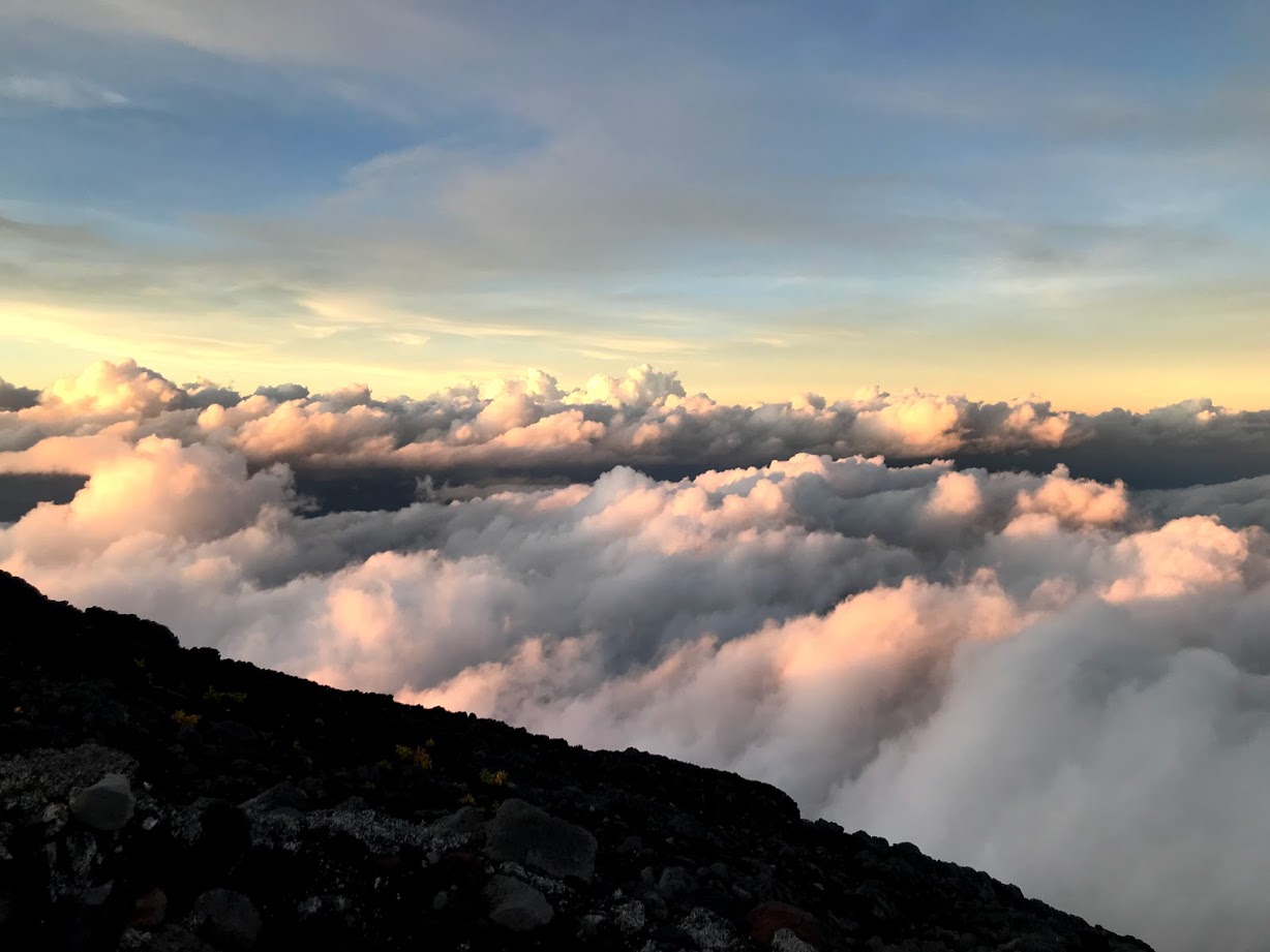
We reached the hut at 6:20 PM, just in time to get some amazing pictures of the cloudscape lit by the sunset on the far side of the mountain. The air temperature was 9 degrees Celsius and the wind was fierce, but the warmth of the mountain hut helped us recover quick.
Although we had barely seen anyone on the trail that day the mountain hut was crowded with tired but excited hikers (maybe they started earlier than us, or took the easier Yoshida trail). The Tomoe-kan staff served us a basic dinner of microwaved curry rice and showed us to our accommodations. We were given a sleeping bag and camping pillow and placed in groups of four in a tiny wooden bunk. I won't say it was the best sleep of my life, but it was good enough after a long and tiring day.
Day 2: Summit push
Most people who spend a night on the mountain aim to reach the summit in time to see the sunrise, which means leaving the mountain hut while it's still dark. Our initial plan was to wake up at 1:30 AM to do just that. We set our alarms, got up on time, and prepared to set out into the cold and dark. But just as we were getting ready to walk out the door a veteran trail guide started addressing all the hikers who were getting ready to go at the same time.
Apparently there had been a pretty serious rockslide the night before that had damaged one of the lower stations. The guides were telling people not to go outside until it got lighter out because of the danger posed by possible future rockslides.
Not wanting to miss this once-in-a-lifetime chance to see the sunrise from the summit of Mount Fuji, we came up with a plan. We would wait a bit before leaving the mountain hut, but only until 4:00 AM. Sunrise was at 5:20, so we could wait to see how the rockslide situation progressed and still make it to the summit in time if we hurried.
If you intend to climb Mount Fuji I'd recommend bringing a lot of water. I brought 1.5 liters and it was definitely not enough, so at this point I bought some more (for 500 yen per bottle) at the 8th station. Some of my teammates also bought a cannister of oxygen to share for 1500 yen.
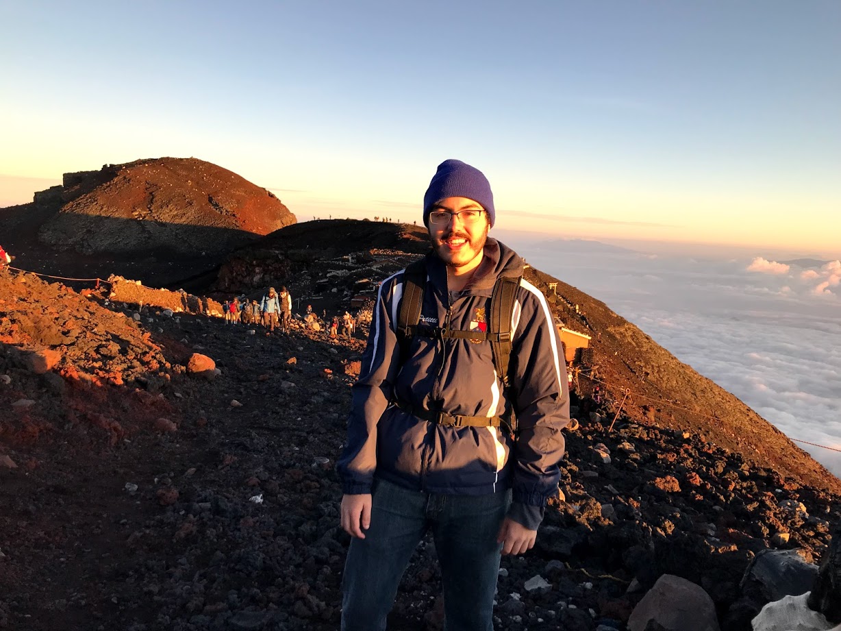
By 4:00 we hadn't heard anything else about rockslides, so we left Tomoe-kan to start the final 376 meter push to the summit. The Yoshida and Subashiri trails meet up at the 8th Station and continue to the top as one trail, so it was significantly more crowded than the previous day. The headlamps of fellow hikers illuminated a winding path up the face of mountain before us.
This last section of the trail was the steepest, but after a good few hours of sleep we made good progress. The loose rock scrambles along the way were a bit treacherous in the dark, but it never got too hairy.
By 4:40 we reached the 9th and final station at about 3,500 meters just as the sky was starting to light up. We took a quick break and joined the long line of hikers hurrying to catch the sunrise.

The early morning air was bitterly cold, and it only got thinner as we climbed ever higher. This combined with the long line of other hikers trying to reach the summit made progress in this last stretch agonizingly slow.
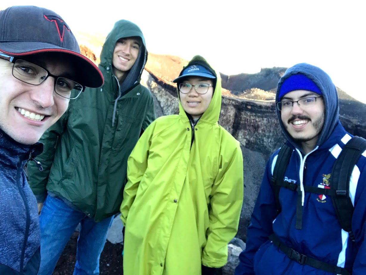
Despite all that, at 5:10 AM we triumphantly hauled ourselves over the eastern edge of the summit crater, just in time to witness the full glory of the sunrise.
It was an exhausting 17 hours of hiking, involving 1,700 meters of elevation gain and less than five hours of sleep. Mount Fuji is by far the highest and hardest mountain I've climbed, and although it was a difficult hike that view of the sunrise made it all worth it.
Around the crater
Though the eastern edge of the crater is the best for viewing the sunrise, the actual highest point in all of Japan is on the western side.
The trail around the crater rim dips up and down for an approximately 3 kilometer loop, so after a break to eat some food and snap some pictures we started hiking clockwise around it.
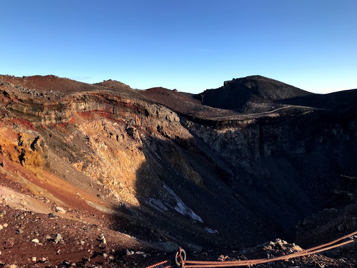
There are several shrines and other buildings along the summit trail which were cool to stop and look at, but there wasn't much else to do but enjoy the view and the downhill sections of the summit trail.
The actual highest point in Japan, at 3,776 meters, has an autonomous weather station and a stone marker, which we reached at 6:20 AM.
After a 50-minute hike up and down the other edge of the crater we made it back to the end of Yoshida and Subashiri trails on the eastern side.
The descent
Both the Subashiri and Yoshida trails are together for the final stretch between the summit and 8th Station, but after that point they split into one ascending and one descending trail each. As we left the summit at 7:10 AM we opted to take the Yoshida trail down for a change in pace, so once we reached the crossroads we headed in that direction.
The descending Yoshida trail is a long series of switchbacks made up of slippery volcanic sand. While not very steep, it's still tiring to climb back and forth while pebbles get into your shoes.
The switchbacks seem to go on forever as you continue to climb down; the bottom of the mountain never seems to get any closer. But eventually you pass back through a layer of clouds, the vegetation starts to come back, and you finally reach the treeline again.
The final few hundred meters of the Yoshida descending trail are a gentle slope through the misty woods that culminates in a dirt road leading into a little tourist town around Fuji Subaru Line 5th Station.

This marked the end of our journey at 10:10 AM, less than 24 hours after we started hiking. We bought some souvenirs, rested our legs a bit, then took the next bus back into town.
Mount Fuji was one of the hardest hikes I've ever done, but it's not impossible. If you prepare and know what you're going into, anyone in okay physical shape can do it. The beautiful views and the knowledge that you've climbed one of the most beautiful and iconic peaks in the world makes it all worth it.